On the afternoon of January 7, 2022, the hillside behind a house on the 2400 block of Perkins Lane West gave way. The home's second floor collapsed onto the daylight basement below it. The couple inside survived, pinned briefly under debris, though their two dogs did not. When they later spoke to reporters, they said something that should stop any Magnolia buyer mid-scroll on a listing photo: they did not carry landslide insurance, because the premium cost more than their mortgage.
That single fact is the thesis of this piece. Magnolia sells a view premium, and everyone who has shopped the neighborhood has felt it in the listing prices. But the premium is not one product. It is two, and they carry entirely different risk profiles that no median-price chart will show you.
Two Streets, One Price Tag
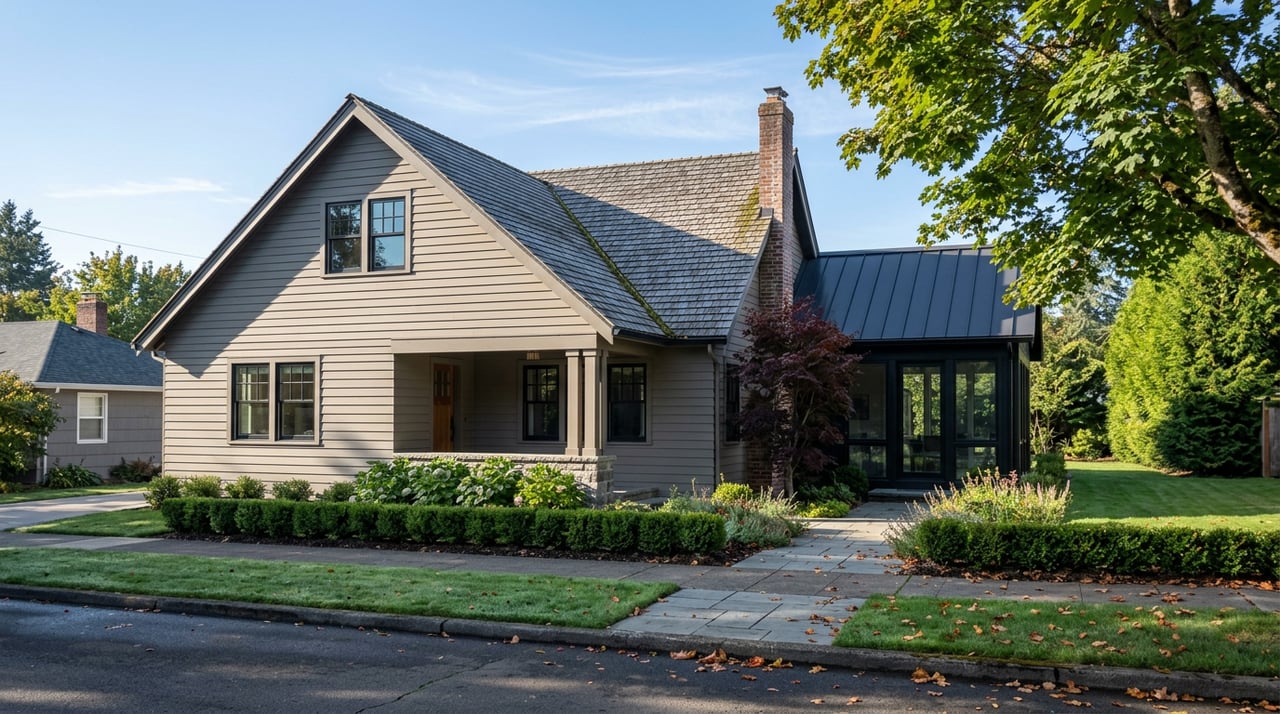
Ask anyone who has spent real time in Magnolia real estate where the money is, and two names come up before anything else: Magnolia Boulevard, with Viewmont Avenue as its close cousin along the bluff top, and Perkins Lane, tucked below at water level. Both deliver what buyers are paying for, water and mountains, but they deliver it through different physical arrangements, and that difference matters more than the marketing language suggests.
Magnolia Boulevard and Viewmont sit on the ridge. You get the Sound, the Olympics, and toward the east end of the boulevard, downtown Seattle and Mount Rainier, all from solid, elevated ground. Perkins Lane sits below the bluff, close enough to the water that the view is unobstructed in a way the ridge homes cannot quite match. It is a narrow, winding street, barely wide enough for two cars, reachable mainly by two staircases down from the boulevard or a slow drive around. It has also, over the decades, attracted people who wanted precisely that kind of view badly enough to accept precisely that kind of access: developer Martin Selig, the late broadcaster Kathi Goertzen, musician Ryan Lewis, and Redhook Ale Brewery co-founder Gordon Bowker have all called it home at one point or another.
The view from both streets photographs the same way. The ground underneath them does not behave the same way at all.
What the Ground Under Perkins Lane Is Actually Made Of
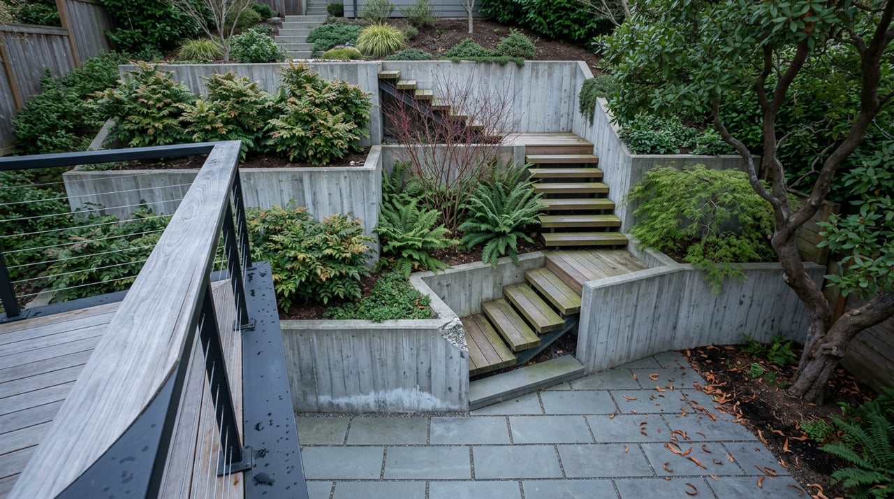
Geologists have a name for what makes Magnolia's western bluff so photogenic and so unstable at the same time: a layer of loose Esperance Sand sitting on top of dense, low-permeability Lawton Clay. Rain filters through the sand until it hits the clay, then runs sideways along that boundary toward the slope face. In a normal year that is manageable. In a wet one, it is the recipe for exactly what happened in 1996, when a slide tore through the south end of Perkins Lane and destroyed five or six houses, depending on which account you read, along with the roadway itself. According to the city's own emergency management documentation, Perkins Lane North has recorded more than 100 documented landslides, a total matched in Seattle only by Alki Avenue in West Seattle.
This is not purely historical. Seattle's Department of Transportation has funded and designed an approximately 180-foot soldier pile retaining wall along the east side of Perkins Lane West, part of the city's Landslide Hazard Mitigation Program, specifically to stabilize the slope. The city is still actively engineering against a risk that has been recurring on this street since the 1930s.
Here is the part that belongs in every Perkins Lane conversation before an offer gets written: standard homeowners insurance in Washington does not cover landslide damage. Coverage for earth movement requires a specialty "difference in conditions" policy, typically sold through surplus lines brokers rather than a standard carrier, with Lloyd's of London historically underwriting the largest share of that market. It is a niche product that most buyers have never had to shop for, and as the Fritts family learned firsthand, it can cost more than the mortgage payment itself. A buyer who assumes their homeowners policy will behave the same way on Perkins Lane as it would on a flat interior lot is making an assumption the policy does not support.
The Bluff Has Its Own Version of This Problem
Magnolia Boulevard and Viewmont Avenue do not carry landslide exposure the way Perkins Lane does. They carry something quieter: no legal right to the view at all.
Under Washington law, as under the law in most states, owning a home does not entitle you to an unobstructed view unless that protection has been written into a specific ordinance, a subdivision covenant, or a recorded easement between neighbors. Seattle has no citywide view ordinance. A neighbor's Douglas fir or western red cedar can grow for twenty years and eventually swallow the exact vista a buyer paid a premium to secure, and short of a private nuisance claim or a covenant that happens to already exist on that specific block, there is no code section to appeal to.
It gets more layered. In July 2023, Seattle's City Council passed a new Tree Protection Code, cataloged as Chapter 25.11 of the municipal code, that sorts private trees into four tiers based on size and species and restricts removal of the larger tiers even more than the old rules did. The intent is entirely reasonable, protecting the city's tree canopy is a real public good, but the side effect for a bluff-top homeowner is that removing a neighbor's mature, view-blocking tree is now a more involved permitting process than it was three years ago. The premium a buyer pays for a Magnolia Boulevard view is buying today's sightline. It is not buying tomorrow's, and the regulatory trend has moved toward making tomorrow's harder to protect, not easier.
Two View Premiums, Compared
| Magnolia Boulevard / Viewmont Avenue | Perkins Lane | |
|---|---|---|
| What drives the premium | Elevated, stable sightline over Sound and mountains | Water-level, fully unobstructed vista |
| Documented risk | View has no legal protection; growing trees can erode it over time | Bluff has recorded over 100 landslides; active slope instability |
| Standard homeowners insurance | Applies normally | Excludes landslide damage |
| Coverage workaround | Not applicable | Difference in conditions policy through a surplus lines carrier |
| City engineering response | None; this is a private property and zoning matter | SDOT-funded soldier pile retaining wall through the Landslide Hazard Mitigation Program |
| Pre-offer step worth taking | Check neighboring parcels for mature canopy and any recorded view easements | Request a geotechnical history and get a DIC insurance quote before removing contingencies |
What This Means If You're Comparing Magnolia Listings
Neither of these facts should scare a serious buyer off either street. People have lived well on Perkins Lane for a century, and plenty of Magnolia Boulevard owners have kept their views for decades without a single dispute. What they should do is change the due diligence checklist.
On Perkins Lane, that means asking your lender and a specialty insurance broker for a landslide coverage quote before the financing contingency comes off, not after. It means asking for whatever geotechnical history exists on the specific parcel, since the city's own landslide inventory shows the risk is uneven along the street rather than evenly distributed. On Magnolia Boulevard or Viewmont, it means looking past the listing photo and actually assessing the maturity and species of trees on the downhill neighboring lots, and asking whether any view easement or covenant was ever recorded for that specific address. Most were not, and that absence is itself useful information.
For sellers on either street, the same logic runs in reverse. A Perkins Lane listing that can point to a clean geotechnical report and confirmation that DIC coverage is obtainable removes friction that would otherwise slow a transaction down. A bluff-top listing that documents an existing view easement, if one happens to exist, is offering something genuinely rare and worth pricing accordingly.
FAQ
Does homeowners insurance cover landslide damage in Seattle? No. Standard homeowners policies in Washington exclude earth movement, including landslides. Coverage requires a separate difference in conditions policy, typically arranged through a surplus lines broker rather than a standard carrier.
Is there a legal right to keep a view in Seattle? Not automatically. Washington law generally holds that property ownership does not include a right to an unobstructed view unless that protection exists through a specific recorded easement, covenant, or local ordinance, none of which apply citywide in Seattle.
Has the landslide risk on Perkins Lane been addressed? Partially and continuously. The city has built drainage and retaining infrastructure along the street for decades, including a soldier pile wall project funded through Seattle's Landslide Hazard Mitigation Program, but the underlying geology has not changed.
Whether you're weighing a bluff-top lot on Viewmont Avenue or a waterside address on Perkins Lane, the smartest move is getting the specific risk profile in writing before it becomes your problem to solve. If you're comparing Magnolia listings and want a second set of eyes on what a particular street or parcel actually carries, Michael Green is glad to walk through it with you. Let's talk today.